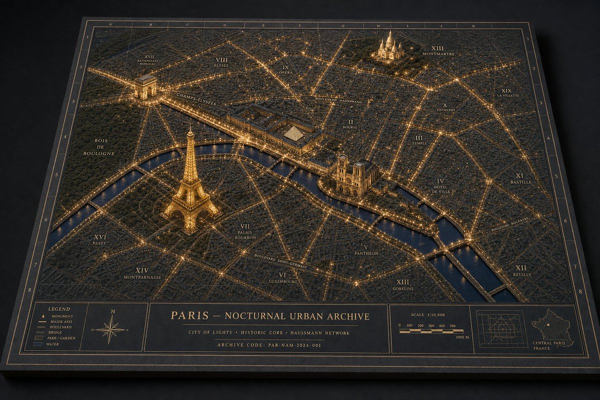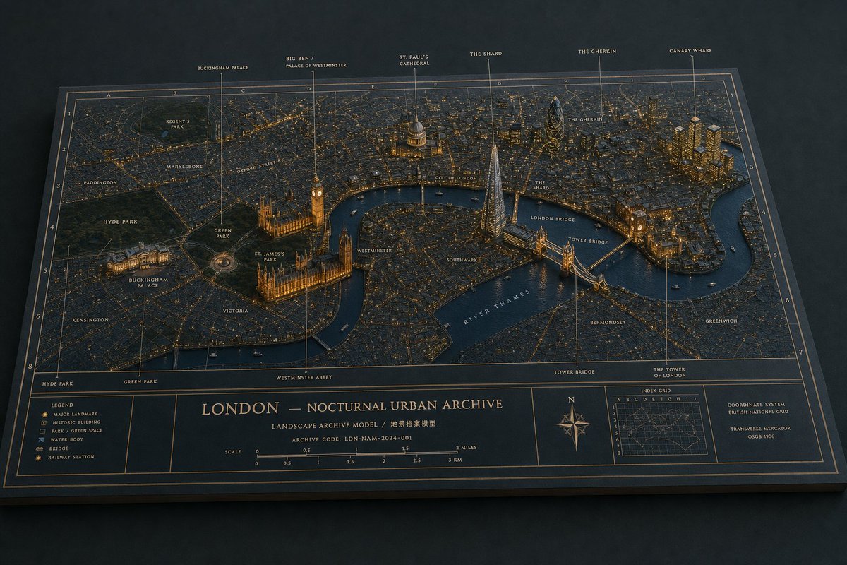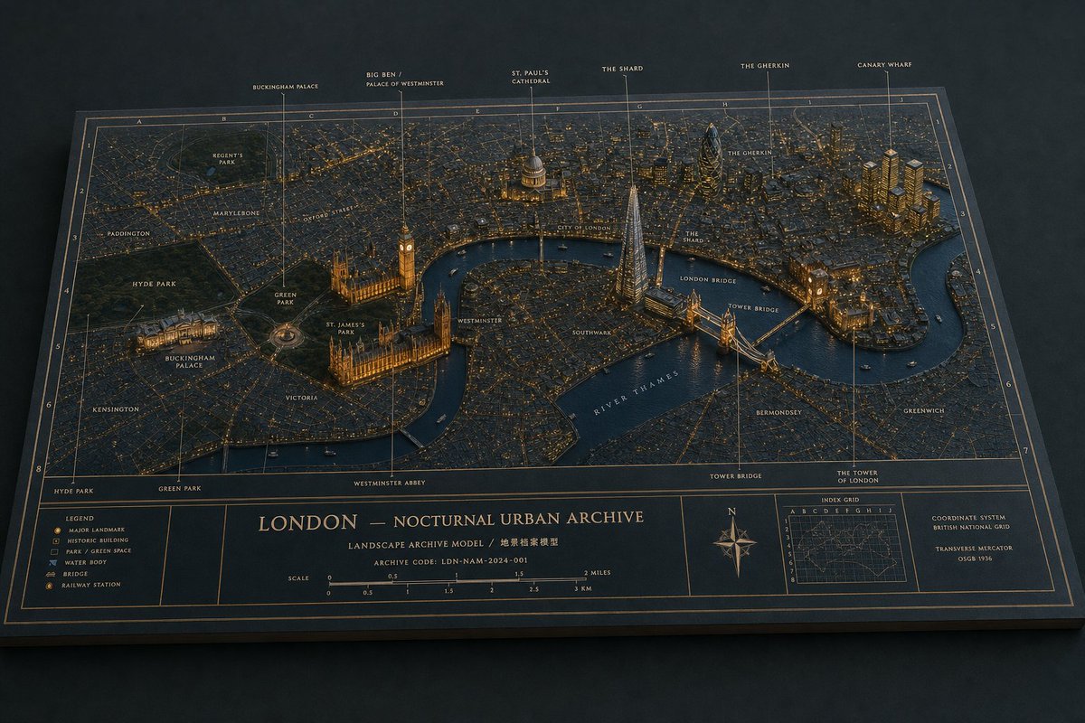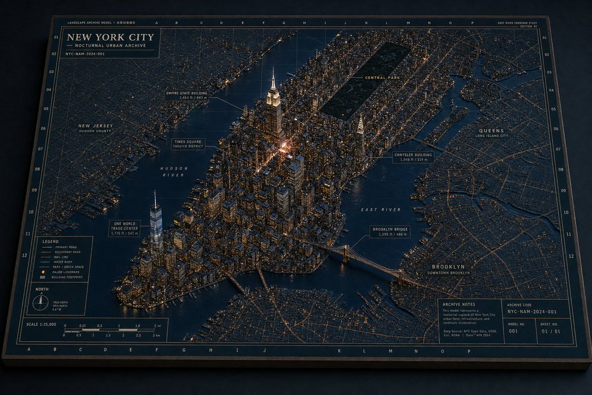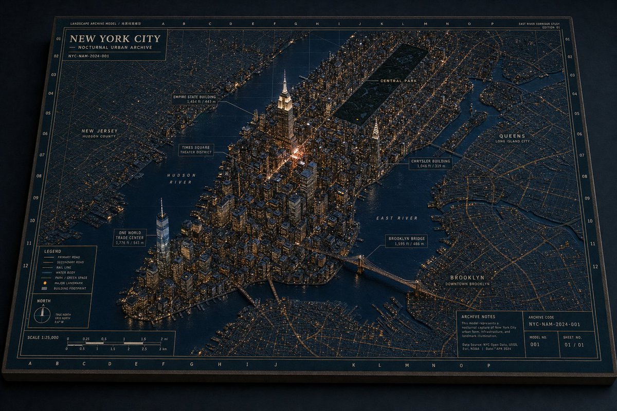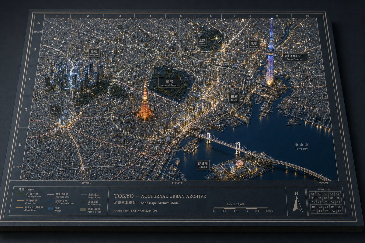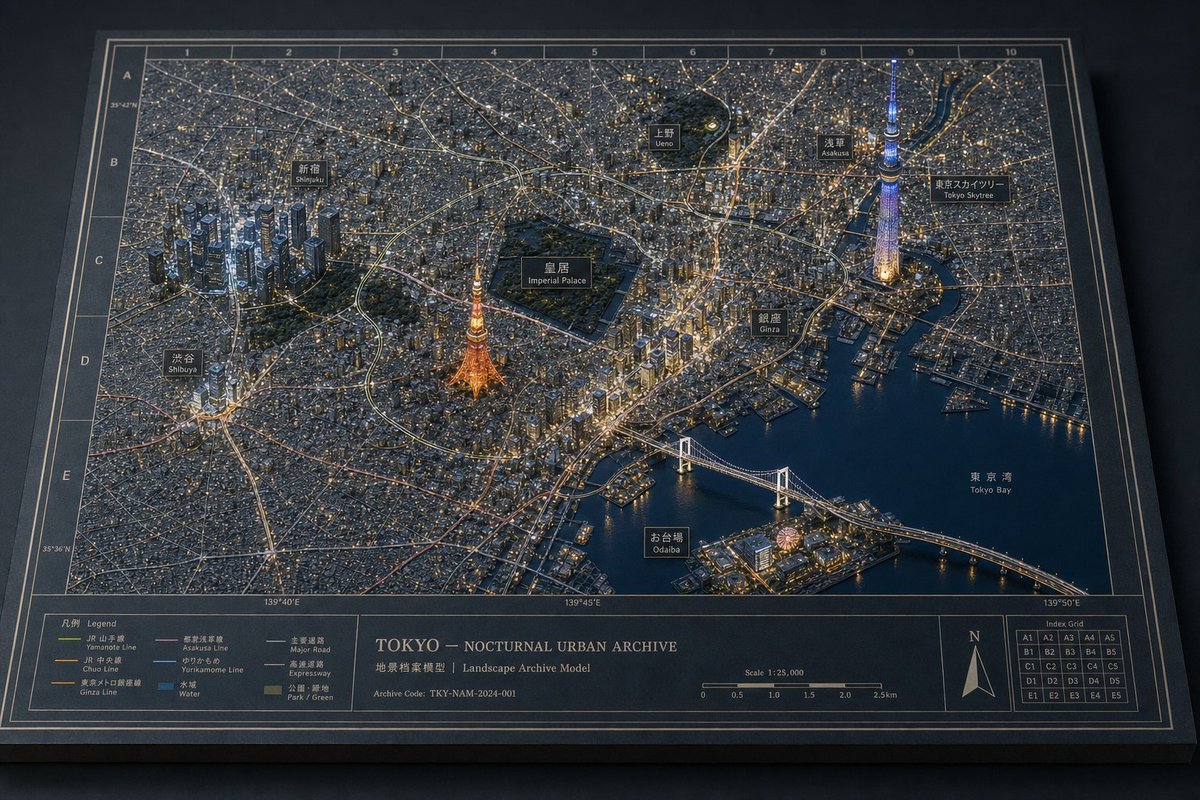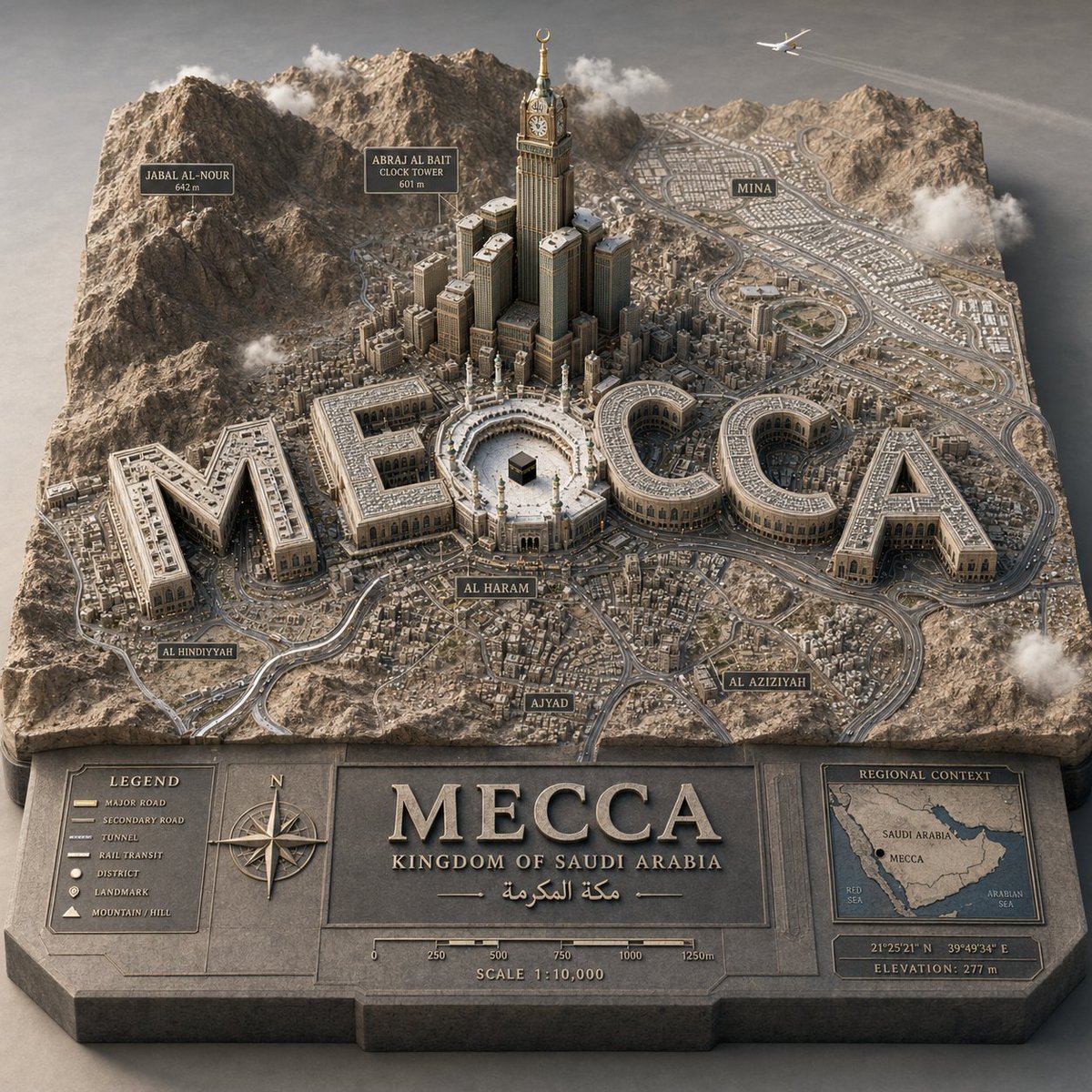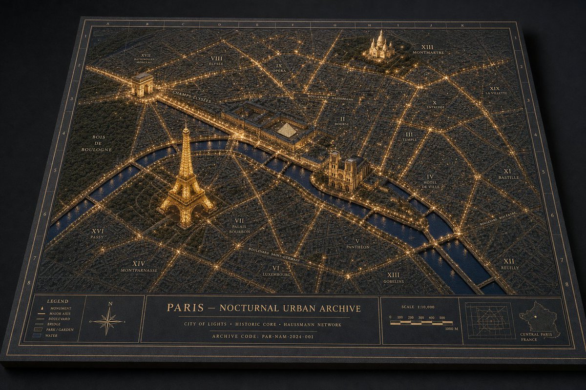
巴黎夜间城市档案地图
生成一张高级夜间实体立体模型地图,包含发光地标、标注区域以及档案式制图面板。
- Category
- Charts & Infographics
- Model
- GPT Image 2
- Creator
- Tia
- Source language
- en
- Source ID
- 20070
- Published
- May 13, 2026
Full prompt
Goal: Create a museum-quality physical diorama map titled {argument name="map title" default="PARIS — NOCTURNAL URBAN ARCHIVE"}, showing {argument name="city" default="Paris"} at night as an archival landscape model with glowing streets, raised landmarks, annotation labels, and a refined cartographic border.

Canvas: Landscape 3:2 perspective view of a thick rectangular archive board resting on a dark matte tabletop. Camera is angled from above, slightly front-facing, so the board has visible thickness and cast shadows. Use a dark navy, charcoal, and antique-gold palette with restrained warm amber lighting.

Layout: The main map fills most of the board, surrounded by a double-line gold border and an alphanumeric coordinate grid. Use letters A–K across the top edge and numbers 1–8 down the side edges. At the bottom, include a structured information band split into 5 visible panels: 1) a legend panel, 2) a compass rose panel, 3) a large centered title/archive text panel, 4) a scale bar panel, and 5) a locator-map panel.

Subject details: Render the city as a dense low-relief 3D urban model with thousands of tiny matte buildings, engraved street blocks, and a dark blue river cutting horizontally through the lower-middle area. Major boulevards and bridges glow as fine amber light lines, creating a precise nighttime network. The water should be satin navy with subtle reflections. Parks should appear as darker textured green-black areas.

Raised landmarks: Include exactly 4 prominent illuminated miniature landmarks, each larger and more sculptural than the surrounding buildings: 1) the Eiffel Tower in the lower-left/left-center area near the river, glowing gold; 2) the Arc de Triomphe in the upper-left area with bright radial avenues; 3) Notre-Dame Cathedral on the island near the center-right river bend; 4) Sacré-Cœur on the upper-right hill area. Keep the landmarks physically plausible, matte, finely detailed, and warmly lit.

Map labels and annotations: Add fine serif gold typography directly on the map, like an architectural archive plate. Include exactly 14 visible district/area labels: XVII Batignolles Monceau, VIII Élysée, IX Opéra, XIII Montmartre, XIX La Villette, X Entrepôt, II Bourse, III Temple, IV Hôtel de Ville, XI Bastille, XII Reuilly, XIII Gobelins, VI Luxembourg, XIV Montparnasse. Add major route labels including Champs-Élysées, Boulevard Haussmann, Boulevard Saint-Germain, and Boulevard Bessières. Labels should be legible but small, integrated into the model.

Bottom information band text: In the center title panel, show the title {argument name="map title" default="PARIS — NOCTURNAL URBAN ARCHIVE"}. Under it, add the subtitle {argument name="subtitle" default="CITY OF LIGHTS · HISTORIC CORE · HAUSSMANN NETWORK"}. Add a final small line: {argument name="archive code" default="ARCHIVE CODE: PAR-NAM-2024-001"}. In the legend panel, list exactly 5 items with small symbols: Monument, Major Axis, Boulevard, Bridge, Park / Garden, Water. In the scale panel, show “SCALE 1:10,000” with a segmented bar labeled 0, 100, 200, 300, 400, 500, and 1000 M. In the locator panel, include a small grid diagram and a tiny outline map labeled “CENTRAL PARIS FRANCE.”

Visual style: Hyper-realistic macro photography of a handcrafted architectural archive model; matte black paper, engraved gold ink, miniature plaster or resin buildings, warm pinprick LED-like city lights, shallow depth of field, crisp central details, soft vignette, realistic paper grain, tactile board edges, subtle dust and material texture. The image should feel like a physical museum diorama photographed in low light, not a flat digital map.

Constraints: Keep the palette dark and elegant; no people, cars, modern UI, bright neon, or glossy plastic. Preserve the single-board archival presentation and the exact 4 raised landmarks, 5 bottom panels, 5 legend items, and 14 district/area labels.
Translations
巴黎夜间城市档案地图
enGoal: Create a museum-quality physical diorama map titled {argument name="map title" default="PARIS — NOCTURNAL URBAN ARCHIVE"}, showing {argument name="city" default="Paris"} at night as an archival landscape model with glowing streets, raised landmarks, annotation labels, and a refined cartographic border. Canvas: Landscape 3:2 perspective view of a thick rectangular archive board resting on a dark matte tabletop. Camera is angled from above, slightly front-facing, so the board has visible thickness and cast shadows. Use a dark navy, charcoal, and antique-gold palette with restrained warm amber lighting. Layout: The main map fills most of the board, surrounded by a double-line gold border and an alphanumeric coordinate grid. Use letters A–K across the top edge and numbers 1–8 down the side edges. At the bottom, include a structured information band split into 5 visible panels: 1) a legend panel, 2) a compass rose panel, 3) a large centered title/archive text panel, 4) a scale bar panel, and 5) a locator-map panel. Subject details: Render the city as a dense low-relief 3D urban model with thousands of tiny matte buildings, engraved street blocks, and a dark blue river cutting horizontally through the lower-middle area. Major boulevards and bridges glow as fine amber light lines, creating a precise nighttime network. The water should be satin navy with subtle reflections. Parks should appear as darker textured green-black areas. Raised landmarks: Include exactly 4 prominent illuminated miniature landmarks, each larger and more sculptural than the surrounding buildings: 1) the Eiffel Tower in the lower-left/left-center area near the river, glowing gold; 2) the Arc de Triomphe in the upper-left area with bright radial avenues; 3) Notre-Dame Cathedral on the island near the center-right river bend; 4) Sacré-Cœur on the upper-right hill area. Keep the landmarks physically plausible, matte, finely detailed, and warmly lit. Map labels and annotations: Add fine serif gold typography directly on the map, like an architectural archive plate. Include exactly 14 visible district/area labels: XVII Batignolles Monceau, VIII Élysée, IX Opéra, XIII Montmartre, XIX La Villette, X Entrepôt, II Bourse, III Temple, IV Hôtel de Ville, XI Bastille, XII Reuilly, XIII Gobelins, VI Luxembourg, XIV Montparnasse. Add major route labels including Champs-Élysées, Boulevard Haussmann, Boulevard Saint-Germain, and Boulevard Bessières. Labels should be legible but small, integrated into the model. Bottom information band text: In the center title panel, show the title {argument name="map title" default="PARIS — NOCTURNAL URBAN ARCHIVE"}. Under it, add the subtitle {argument name="subtitle" default="CITY OF LIGHTS · HISTORIC CORE · HAUSSMANN NETWORK"}. Add a final small line: {argument name="archive code" default="ARCHIVE CODE: PAR-NAM-2024-001"}. In the legend panel, list exactly 5 items with small symbols: Monument, Major Axis, Boulevard, Bridge, Park / Garden, Water. In the scale panel, show “SCALE 1:10,000” with a segmented bar labeled 0, 100, 200, 300, 400, 500, and 1000 M. In the locator panel, include a small grid diagram and a tiny outline map labeled “CENTRAL PARIS FRANCE.” Visual style: Hyper-realistic macro photography of a handcrafted architectural archive model; matte black paper, engraved gold ink, miniature plaster or resin buildings, warm pinprick LED-like city lights, shallow depth of field, crisp central details, soft vignette, realistic paper grain, tactile board edges, subtle dust and material texture. The image should feel like a physical museum diorama photographed in low light, not a flat digital map. Constraints: Keep the palette dark and elegant; no people, cars, modern UI, bright neon, or glossy plastic. Preserve the single-board archival presentation and the exact 4 raised landmarks, 5 bottom panels, 5 legend items, and 14 district/area labels.
巴黎夜间城市档案地图
zh-CN目标:制作一张博物馆级的实体立体模型地图,标题为 {argument name="map title" default="PARIS – NOCTURNAL URBAN ARCHIVE"},展示 {argument name="city" default="Paris"} 的夜景,呈现为建筑档案模型,带有发光的街道、微型地标以及雕刻般的制图注释。 画布:横向 3:2 图像,以类似高级桌面展品的高仰角拍摄。地图是一个放置在深色工作室平面上的厚矩形项目,具有黑海军蓝底色、暖金色线条、细腻的纸张纹理、浮雕地形、投影效果以及哑光博物馆展示的真实感。 布局:用一张大型矩形档案城市地图填满画面,并配以双层金色边框。在地图边缘添加字母数字网格:顶部为 A–K,两侧为 1–8。城市占据上方四分之三的区域;结构化的信息栏占据底部四分之一。 城市主体模型:将塞纳河渲染为深海军蓝色的河流,横向穿过中下部,带有发光的河岸和桥梁。街道形成密集且精确的奥斯曼风格网络,由细小的琥珀色发光线条组成。主要大道发光更亮,并带有小型雕刻标签。公园是纹理较暗的深绿色区域。建筑物低矮、深色且经过精细挤压,营造出触感真实的 3D 档案模型。 计数并放置 4 个凸起的发光地标模型:1) 左下/中左侧靠近河流的埃菲尔铁塔,最高且呈金色发光;2) 左上象限的凯旋门,带有放射状大道;3) 中右侧岛屿/河流区域的巴黎圣母院;4) 右上象限高处的圣心大教堂/蒙马特大教堂。 计数并标注 15 个区域注释,使用小型衬线金色字体:“XVII BATIGNOLLES MONCEAU”、“VIII ELYSEE”、“IX OPERA”、“XVIII MONTMARTRE”、“XIX LA VILLETTE”、“X ENTREPOT”、“III TEMPLE”、“IV HOTEL DE VILLE”、“XI BASTILLE”、“XII REUILLY”、“XIII GOBELINS”、“V PANTHEON”、“VI LUXEMBOURG”、“VII PALAIS BOURBON”、“XVI PASSY”。同时在左侧大型深色公园标注“BOIS DE BOULOGNE”。 主要路线标签:包括从凯旋门延伸出的“CHAMPS-ELYSEES”、横跨中上部的“BOULEVARD HAUSSMANN”、中下部的“BOULEVARD SAINT-GERMAIN”,以及靠近右侧河岸的“BOULEVARD BOURDON”或类似的小型大道标签。 底部信息栏:将信息栏从左至右分为 5 个可见面板:1) 图例面板,2) 指南针面板,3) 中央标题面板,4) 比例尺/插图网格面板,5) 微型区域定位地图面板。 底部面板细节:图例面板必须列出 5 个符号类别:纪念碑、主轴线、大道、桥梁、公园/花园,如果空间允许,下方可添加水域色块。指南针面板包含一个带有 N/E/S/W 标记的华丽金色罗盘玫瑰。中央面板包含大标题 {argument name="map title" default="PARIS – NOCTURNAL URBAN ARCHIVE"}、副标题“CITY OF LIGHTS · HISTORIC CORE · HAUSSMANN NETWORK”以及档案代码 {argument name="archive code" default="PAR-NAM-2024-001"}。比例尺面板显示“SCALE 1:10,000”以及 0 到 1000 米的分段条。定位面板显示一张标有“CENTRAL PARIS FRANCE”的小型轮廓地图。 视觉风格:超精细实体微缩模型,而非平面数字地图。使用克制的夜间色调:炭黑色、海军蓝水域、古铜金色、琥珀色灯光以及柔和的深绿色公园。灯光应呈现出沿街道和纪念碑嵌入的微型 LED 效果,并具有真实的阴影、斜角、雕刻字体和档案制图精度。 约束:所有文字保持为英语或法语风格的拉丁字母。没有人像、没有汽车、没有现代 UI、没有水印。保持一致的高级编辑档案地图系列美学。