Geological Strata Cross-Section
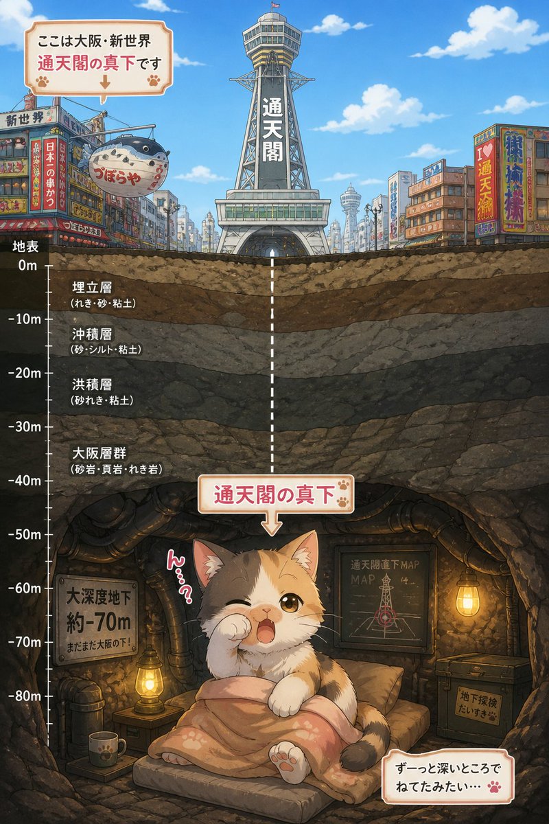
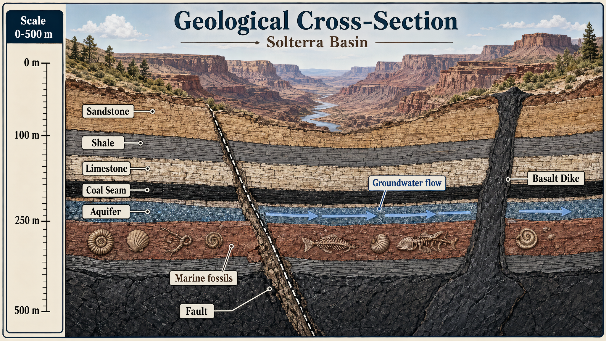
Produce a detailed geological cross-section poster of layered earth strata cutting through a fictional canyon basin. Use a natural scientific palette of sandstone beige, iron oxide
- Category
- Charts & Infographics
- Model
- GPT Image 2
- Creator
- wuyoscar
- Source language
- en
- Source ID
- 128
Full prompt
Produce a detailed geological cross-section poster of layered earth strata cutting through a fictional canyon basin. Use a natural scientific palette of sandstone beige, iron oxide red, shale gray, limestone cream, basalt charcoal, and muted green vegetation above ground. Show clearly differentiated layers, a fault line, an aquifer, fossil-bearing beds, and a volcanic intrusion. Add crisp in-image text: "Geological Cross-Section", "Solterra Basin", "Scale 0-500 m", and labels "Sandstone", "Shale", "Limestone", "Coal Seam", "Aquifer", and "Basalt Dike". Include a vertical scale with "0 m", "100 m", "250 m", and "500 m". Add small annotations "Marine fossils" and "Groundwater flow" with arrows. The composition should be highly legible, educational, and neatly diagrammed, with clean linework, correct label placement, balanced annotation density, and publication-quality scientific illustration clarity.
Translations
Geological Strata Cross-Section
enProduce a detailed geological cross-section poster of layered earth strata cutting through a fictional canyon basin. Use a natural scientific palette of sandstone beige, iron oxide red, shale gray, limestone cream, basalt charcoal, and muted green vegetation above ground. Show clearly differentiated layers, a fault line, an aquifer, fossil-bearing beds, and a volcanic intrusion. Add crisp in-image text: "Geological Cross-Section", "Solterra Basin", "Scale 0-500 m", and labels "Sandstone", "Shale", "Limestone", "Coal Seam", "Aquifer", and "Basalt Dike". Include a vertical scale with "0 m", "100 m", "250 m", and "500 m". Add small annotations "Marine fossils" and "Groundwater flow" with arrows. The composition should be highly legible, educational, and neatly diagrammed, with clean linework, correct label placement, balanced annotation density, and publication-quality scientific illustration clarity.